California's 'Superbloom' of Wildflowers Looks Spectacular from Space!
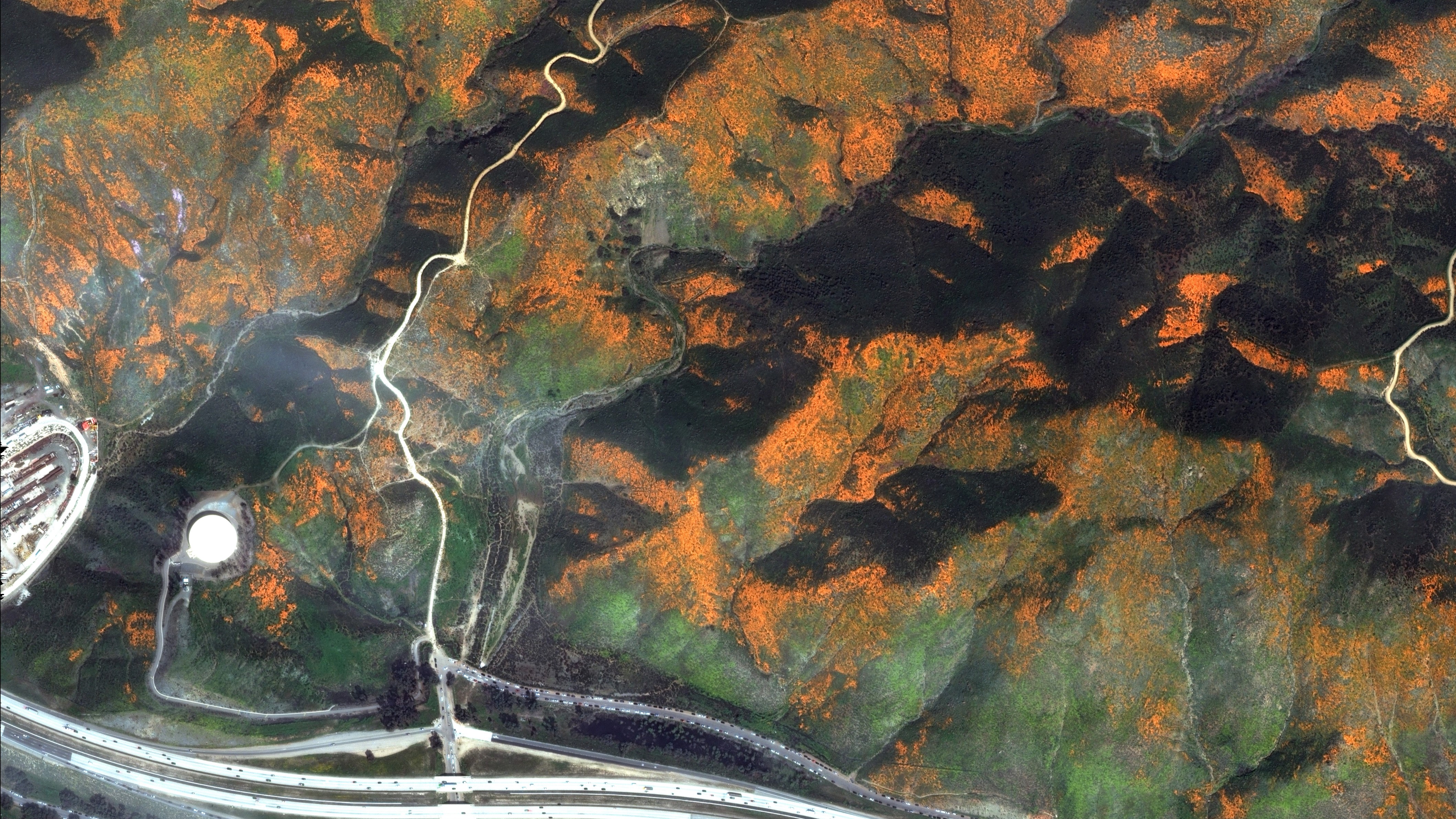
The Landsat 8 satellite, a collaboration between NASA and the U.S. Geological Survey, saw "an explosion" of wildflowers that covered green areas of deserts in Southern California, and DigitalGlobe satellites caught higher-resolution images of the blooms.
The wildflowers blossomed following a wet winter in the region, NASA's Earth Observatory reported. USGS captured the images with the Operational Land Imager on the Landsat satellite looking down near the town of New Cuyama, which is about 130 miles (210 kilometers) northwest of Los Angeles. The DigitalGlobe images focused on a location about 50 miles (80 km) southeast of Los Angeles.
"The colorful satellite imagery shows the hillsides along Walker Canyon, filled with blooming poppies as well as hundreds of cars parked nearby and people hiking along trails in the area," DigitalGlobe representatives said in a statement.

DigitalGlobe is useful for zooming in on small tracts of land, while bigger satellites, such as the Landsat series, are useful for tracking large swaths of land over long periods. The multiwavelength satellites allow researchers to monitor crop health, see how pollution affects the landscape and track the effects of climate change, particularly in northern areas where ice is receding.
Landsat is operated by the U.S. Geological Survey and has been gathering data since 1972, when the Earth Resources Technology Satellite (or Landsat 1) launched.
Landsat 8 launched in February 2013 and operates in a near-polar orbit, which allows the spacecraft to examine regions all over the world. It also is sun-synchronous, which means it orbits in such a way that the sun is always in the same position in the sky (and lights the terrain in the same way) from the satellite's perspective; this allows for more-consistent comparisons between images.
Get a closer look at the superbloom below:
Get the Space.com Newsletter
Breaking space news, the latest updates on rocket launches, skywatching events and more!

Superbloom at Walker Canyon
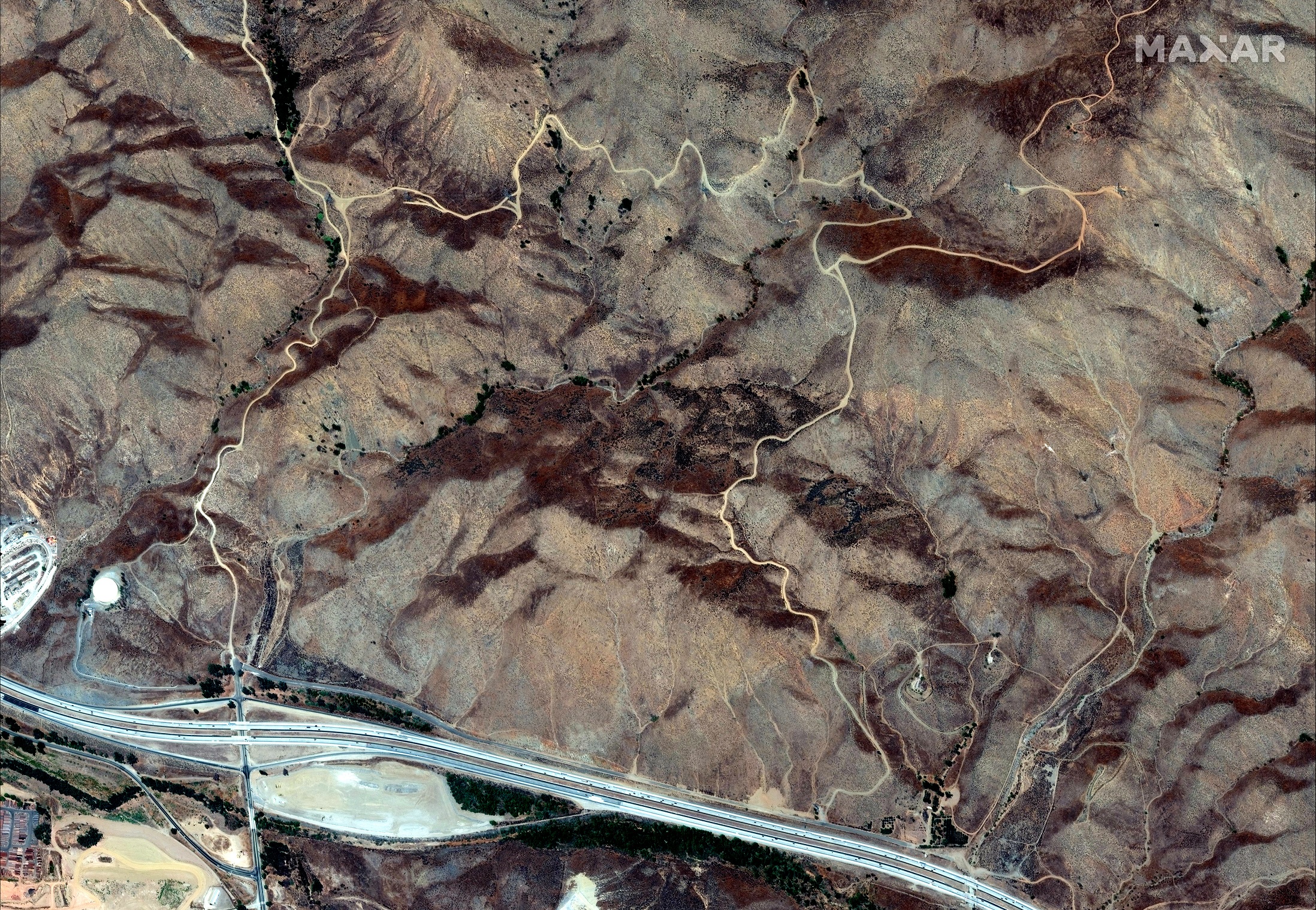
Before the bloom (August 2018)
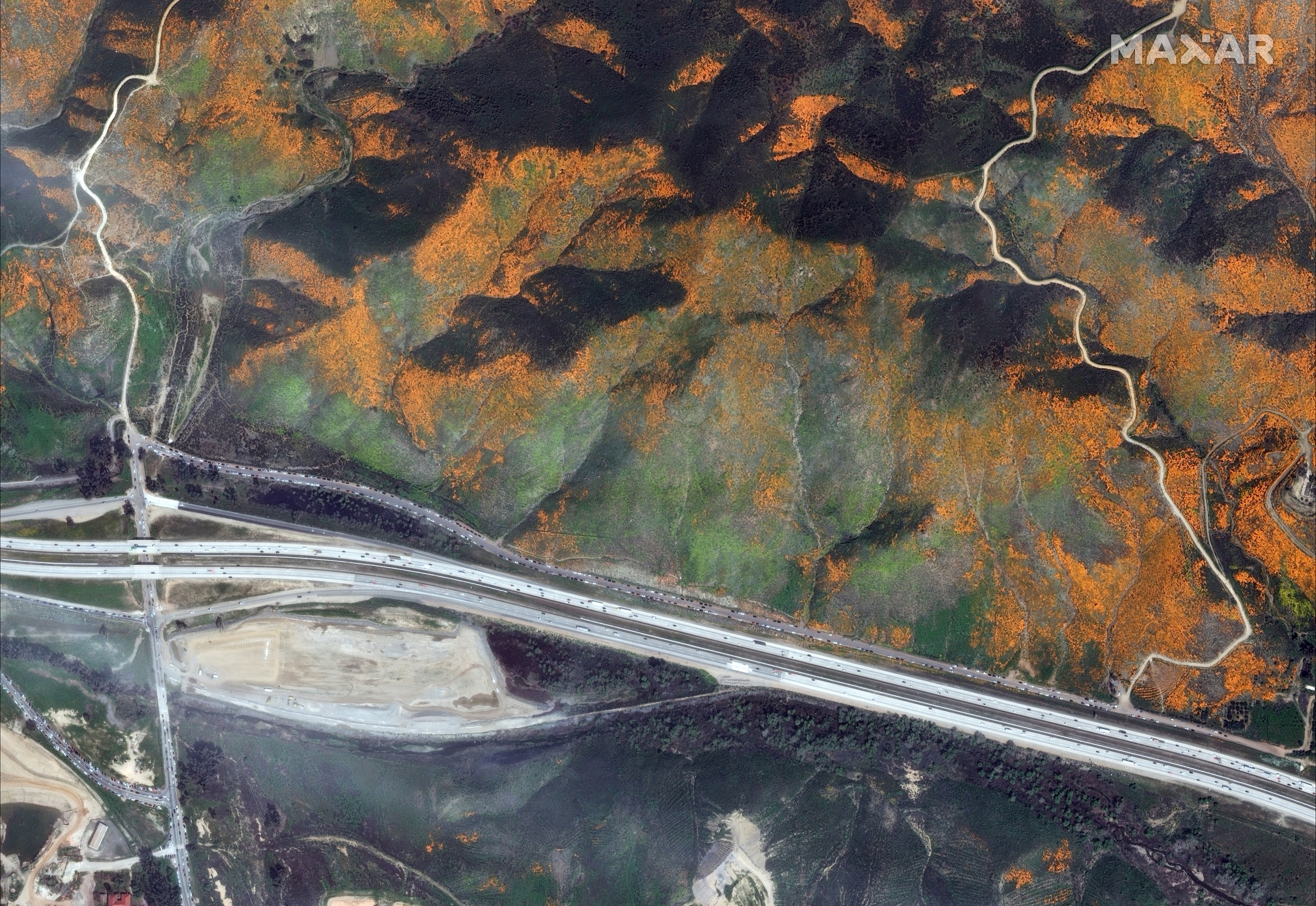
Traffic and poppies
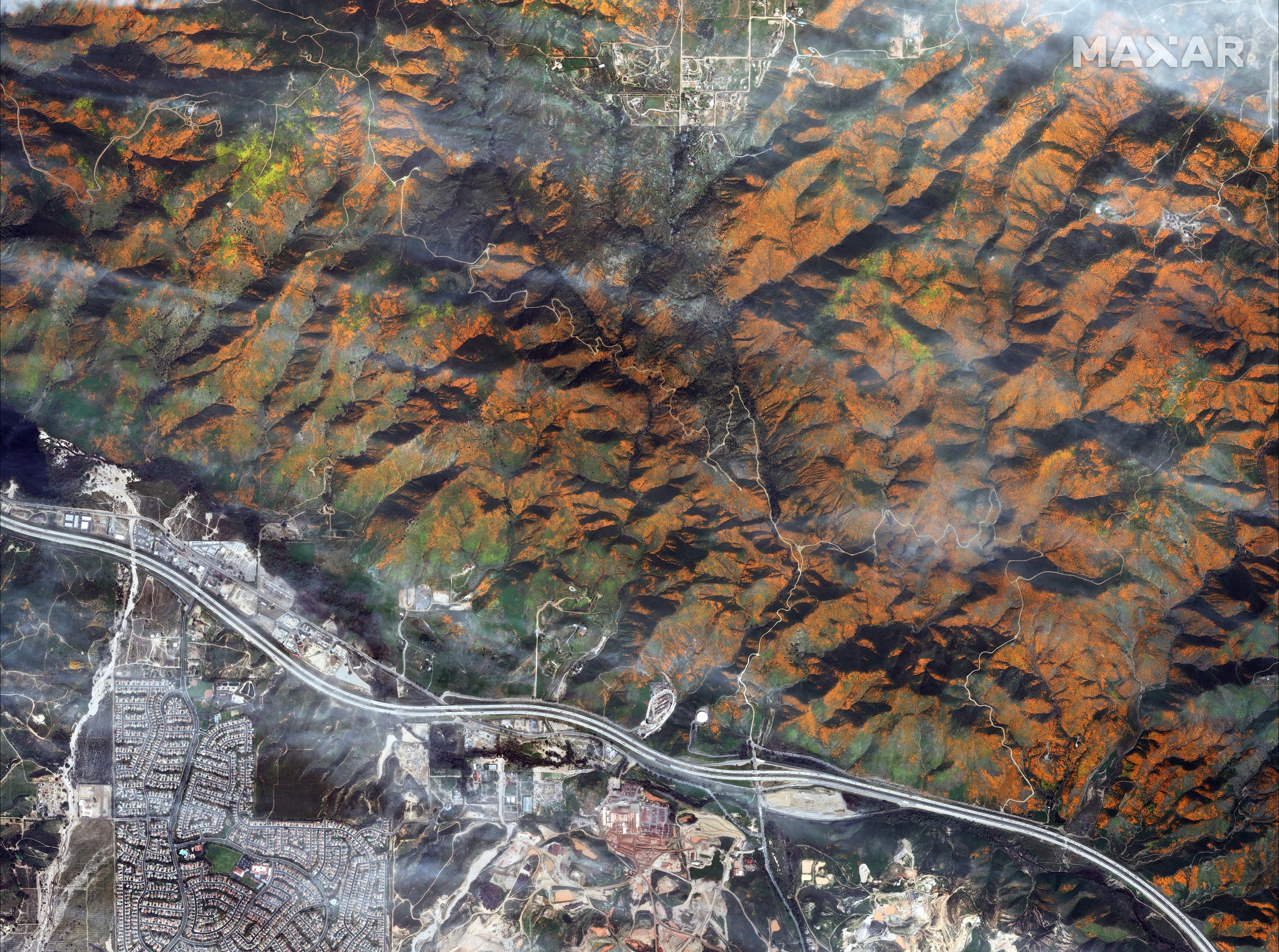
Superbloom overview
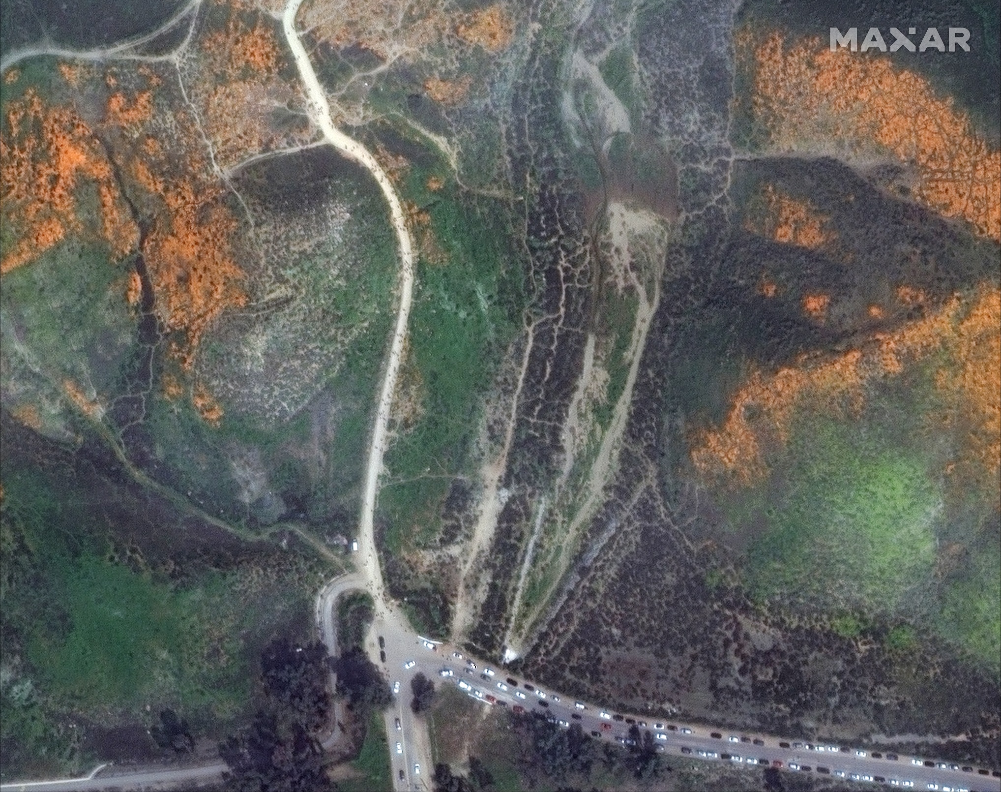
On the trail
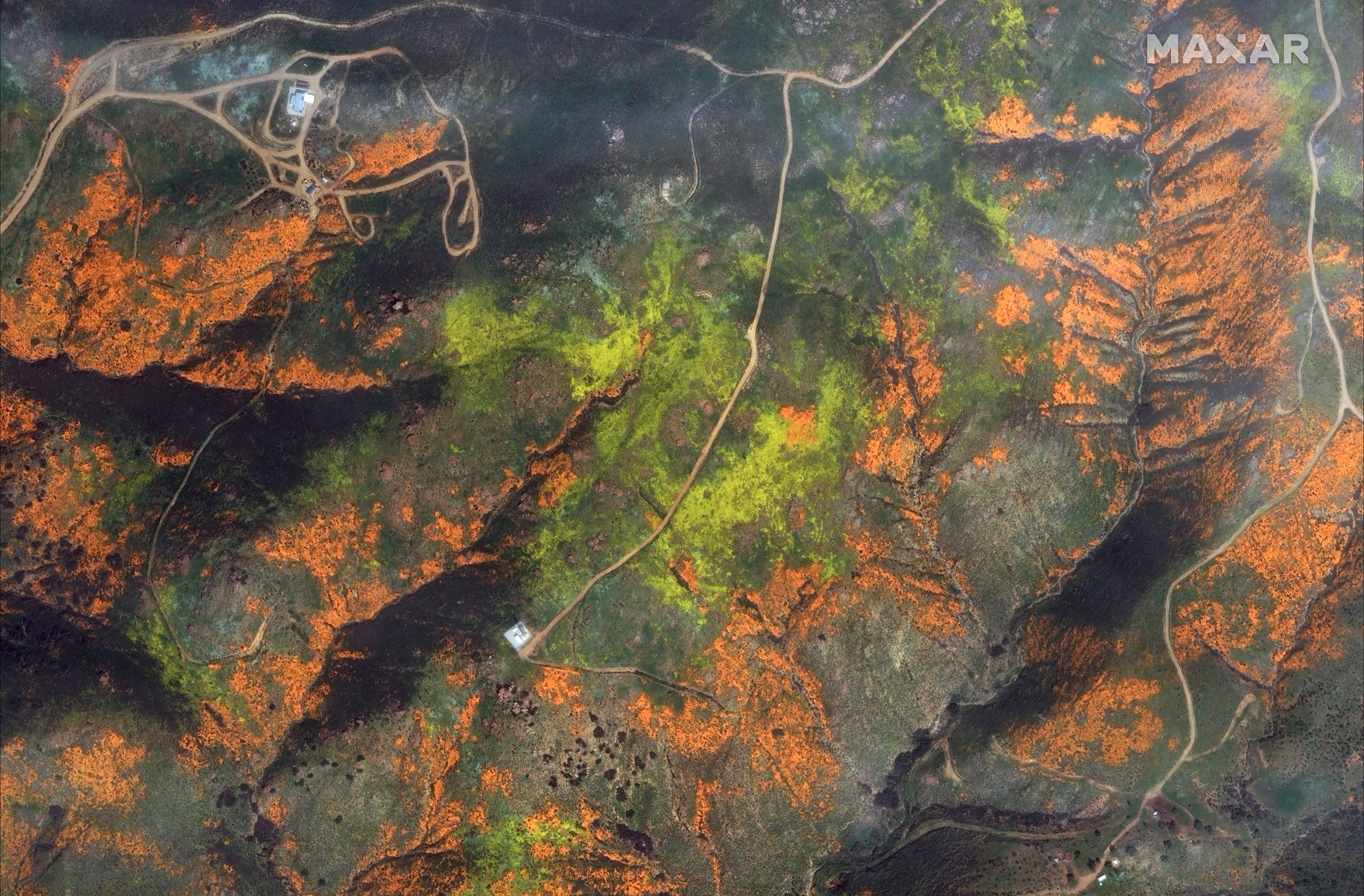
In the hills
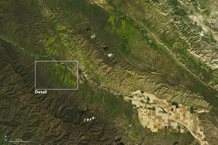
Near New Cuyuma

A closer look
Editor's Note: This article was updated to clarify the location of Walker Canyon in comparison to Los Angeles and to include that the Landsat satellites are a collaboration between NASA and the U.S. Geological Survey.
- NASA Celebrates Landsat 8 Satellite's 5 Years of Stunning Earth Images
- Raging California Wildfires Spotted from Space (Photos)
- Floating Ice Diamond Dazzles from Space
Follow Elizabeth Howell on Twitter @howellspace. Follow us on Twitter @Spacedotcom and on Facebook.
Join our Space Forums to keep talking space on the latest missions, night sky and more! And if you have a news tip, correction or comment, let us know at: community@space.com.

Elizabeth Howell (she/her), Ph.D., was a staff writer in the spaceflight channel between 2022 and 2024 specializing in Canadian space news. She was contributing writer for Space.com for 10 years from 2012 to 2024. Elizabeth's reporting includes multiple exclusives with the White House, leading world coverage about a lost-and-found space tomato on the International Space Station, witnessing five human spaceflight launches on two continents, flying parabolic, working inside a spacesuit, and participating in a simulated Mars mission. Her latest book, "Why Am I Taller?" (ECW Press, 2022) is co-written with astronaut Dave Williams.
